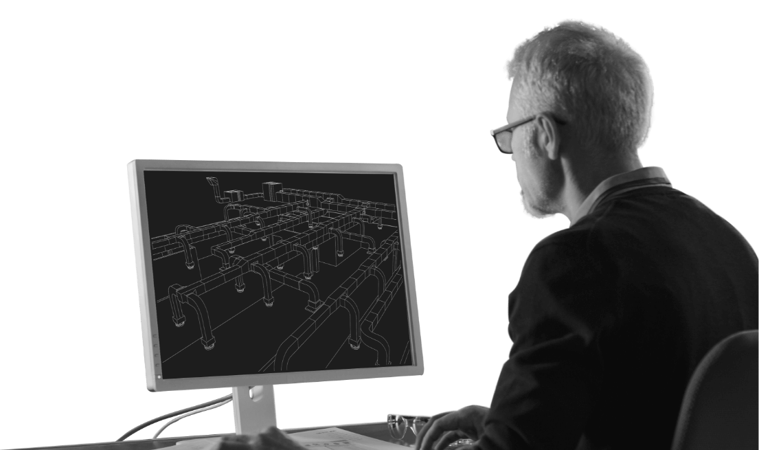
Data processing
- Vectorization and
- Conversion.
The professional team of our company in charge of geographic information systems, in addition to creating databases on various topics, also deals with data processing, which includes 2 basic forms of translating spatial data from one format to another:
The vectorization process involves the translation of spatial planning, design and other documentation, as well as geodetic plans from analog to digital form. This procedure includes georeferencing of raster data, ie scanning and insertion of substrates in raster form into the national coordinate system and their formatting in the appropriate form (CAD / GIS) ready for further use.
The process of conversion of CAD documentation format into GIS involves the translation of vector geodetic bases, spatial planning documentation and other materials into the appropriate GIS format which is further used to create geospatial databases.
Your ideas
INOVA solutions start with great ideas. Tell us yours. Contact us by email or phone.

